The first shudder never made the evening news. It barely registered onshore at all. Out at sea, a research vessel north of Scarborough felt a faint, almost imagined wobble in the mugs on the lab bench, then forgot about it as the wind picked up.
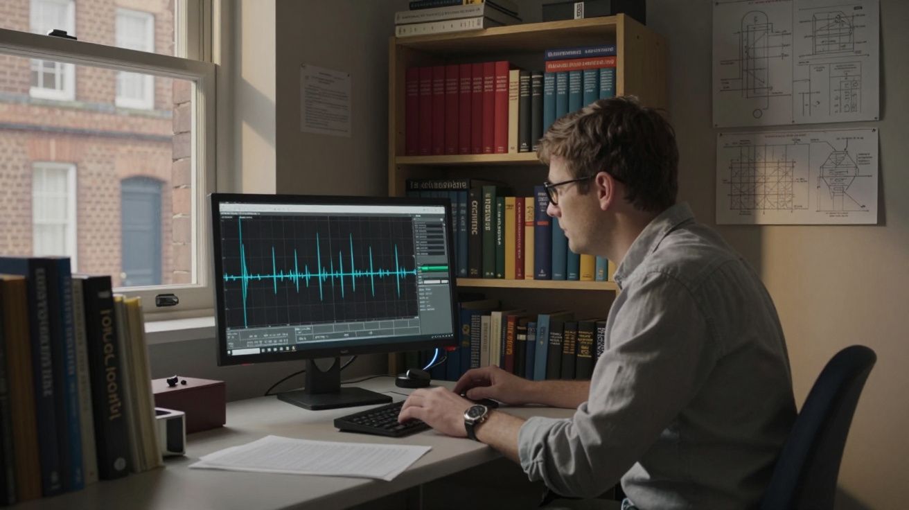
On land, the real drama was quiet. In a low brick building in Nottingham, a seismologist watched a thin blue line on a British Geological Survey (BGS) screen twitch, then twitch again. A cluster of small tremors, deep under the North Sea, had woken up a patch of old rock. No damage, no alarm bells, just a reminder that the ground beneath the waves is not as still as it looks from the promenade.
By the time a short summary appeared on the BGS website, the questions had already started: does this mean a bigger quake is coming, could it trigger a tsunami, should people on the east coast be worried? The answers are less dramatic than the headlines-but more interesting than a simple “no”.
What actually shook under the North Sea?
The tremors recorded were small: the kind of events that instruments feel but people almost never do. Think magnitudes in the low 2s to low 3s, happening several kilometres beneath the seabed. On a typical day, the UK and its surrounding waters see several quakes of this size. Most pass unnoticed.
The North Sea sits on old, fractured crust, laced with ancient fault lines left over from long-gone mountain ranges and rift systems. Every so often, stress that has been quietly building in those faults gets released with a snap. The result is a tiny earthquake, more like the creak of an old house than the collapse of a wall.
What made this recent cluster interesting to geologists was not its power but its pattern. A few quakes, close together in time and space, tell a story about how that bit of crust is behaving right now. For scientists, each wiggle on the graph is part of a long-running conversation with the Earth under our feet.
“We’re not looking at anything unusual in a global sense,” says one BGS seismologist. “But even small events help us map the active faults offshore and refine what we know about risk along the UK coast.”
Could these tremors signal something bigger for the UK coast?
This is the worry that surfaces first: small quakes as a warning shot for a big one. In films, a gentle shake is always the prelude to chaos. Real geology is far less theatrical.
In the UK region, small tremors only rarely precede larger quakes in a meaningful, predictable way. Most minor events are simply stress releasing in small packets. The North Sea does experience the occasional moderate quake-around magnitude 4 or 5-but truly large, devastating earthquakes of the kind seen along major plate boundaries are not on the cards here.
The other fear is tsunami. The word itself carries a shadow, especially along low-lying coasts in eastern England and Scotland. Historically, the greatest tsunami threat to the UK has not been from local quakes, but from huge submarine landslides on the Norwegian margin, like the ancient Storegga event about 8,000 years ago. That was triggered by a much larger tectonic rearrangement than anything now on the BGS screens.
Tiny tremors of the sort just recorded are far too small to generate a damaging tsunami. They are also not, on their own, a sign that a giant slide is imminent. What they do instead is feed the models and maps that let scientists say that with more confidence.
So the honest answer is layered:
- The immediate risk from these specific tremors is negligible.
- The long-term insight they offer into fault behaviour and seabed stability is valuable.
- The bigger hazards for the UK coast-storm surges, sea-level rise, coastal erosion-remain far more pressing day-to-day than earthquakes.
What this tells us about the hidden landscape offshore
Under the grey surface of the North Sea lies a complicated landscape: buried valleys, salt structures, old river channels, oil and gas fields, and proposed carbon storage sites. Small quakes are one of the ways geologists trace the outlines of this hidden world.
Each event is like a pin dropped on a three-dimensional map. Over years and decades, patterns emerge: lines of quakes marking active faults, clusters hinting at zones of weakness, quiet patches suggesting locked or stable blocks of crust. When combined with data from drilling, seismic reflection surveys and satellite measurements, a clearer picture of the offshore geology appears.
That picture matters more than you might think:
- Energy infrastructure: Pipelines, wells, wind farm foundations and future carbon capture projects all sit on or in this shifting ground.
- Coastal stability: How the seabed behaves during storms and over centuries has a knock-on effect on erosion, sediment supply and flood risk along the shore.
- Regulation and planning: Regulators use this information to decide where to allow new infrastructure and how strong it needs to be.
Let’s be honest: no one reads a seismicity catalogue over breakfast. But the quiet work of tracking these tremors is part of how engineers make sure a cable buried offshore or a turbine planted in the seabed will still be standing when your grandchildren walk that stretch of beach.
What coastal communities should (and should not) do now
If you live or work along the east coast, it is natural to wonder what, if anything, you ought to change. For most people, the answer is: not much-beyond staying informed in a sane, steady way.
Useful steps:
- Check the British Geological Survey website or app if you hear about a “mystery bang” or shaking; they usually confirm felt events quickly.
- Look at your local council’s flood and emergency plans-not because of these tremors specifically, but because knowing them is good practice for any coastal hazard.
- If you run a coastal business (harbour, marina, offshore work), make sure your risk assessments include up-to-date references to geological and seabed stability reports.
What not to do:
- Do not assume that a cluster of tiny quakes means a disaster is brewing.
- Do not share dramatic maps or old tsunami images without context-they travel faster than corrections.
- Do not ignore the slower, surer risks (rising seas, stronger storms) while worrying about unlikely earthquake scenarios.
“You don’t need panic. You do need perspective,” says coastal hazard specialist Dr Maya Lewis. “In the UK, earthquakes are part of the background hum, not the main threat. But they help us tune the instruments for the problems we do face.”
How geologists read these tremors-and what they’re watching next
Scientists are not just ticking boxes when a small quake pings across their screens. They are asking a set of recurring questions: Where exactly did it happen? How deep was it? Which fault moved? Was the motion compressional, stretching, or sideways sliding? Did it link to an old known structure, or does it suggest something new?
Answering those questions lets them update three quiet but important lines of defence:
- Hazard maps – refining the probability of different levels of shaking in different regions.
- Building and infrastructure guidance – checking that the assumptions in design codes still hold.
- Monitoring networks – deciding where to add or upgrade sensors for better coverage offshore.
Here is how a few common signals are usually read:
| Signal offshore | Typical meaning | Why it matters for the coast |
|---|---|---|
| Single, isolated small quake | Local stress release on a minor fault | Routine background activity; no direct coastal impact |
| Short cluster of small quakes in one area | A fault segment adjusting, or fluids moving in the crust | Helps map active structures that might influence seabed stability |
| Gradual shift in where quakes occur over years | Changing stress patterns or response to human activity (e.g. extraction) | Informs regulation of offshore projects and long-term coastal planning |
Right now, geologists will be doing what they always do after a flutter of activity: folding the new data into models, cross-checking against older events, and watching to see whether the pattern continues or fades. If something truly unusual develops-a jump in magnitude, a new fault lighting up-there are established channels with government and industry to respond.
Most of the time, the story ends more quietly: the crust sighs, the graphs flatten, and the sea goes back to looking empty and calm.
The bigger picture: living with a moving Earth
The North Sea tremors are a reminder of something both simple and easy to forget: the ground beneath the UK, land and sea alike, is not a finished product. It flexes, creaks and resettles on timescales far longer than any news cycle.
For coastal communities, that’s not a reason to lie awake at night. It is a nudge to see hazards as a package, not a list of isolated fears. Earthquakes, sea-level rise, storms, erosion and human engineering all overlap. Managing one well often helps with others. Stronger sea defences, smarter planning, better emergency communication-these are useful whether the next threat comes from a storm surge or a rare, moderate offshore quake.
Think of the current tremors as a quiet rehearsal. The instruments work. The scientists are listening. The systems that would matter in a genuine emergency-alerts, plans, routes-are the same ones you’d rely on in a winter flood.
Fairness here is not about who gets scared; it is about who gets information in time, in plain English, with clear choices. The Earth will keep moving. The real test is how calmly and clearly we move with it.
FAQ:
- Can these recent North Sea tremors cause damage on the UK coast? No. The events recorded have been too small and too far offshore to cause structural damage on land. Most people would not feel them at all.
- Do small quakes mean a big one is definitely coming? Not in the UK context. Small tremors are part of normal background activity and only rarely precede a significantly larger event, and even then they are not reliable predictors.
- Is there a real tsunami risk from UK offshore earthquakes? Local quakes of the sizes typically seen around the UK are very unlikely to generate damaging tsunamis. The main historical tsunami threats to the UK have come from much larger events and submarine landslides far to the north and west.
- Could offshore energy projects be linked to these tremors? Some human activities can influence seismicity, but most small North Sea quakes match long-known natural faults. Regulators require monitoring where industrial work might affect the subsurface.
- How can I keep track without getting overwhelmed? Check updates from the British Geological Survey, follow your local council’s emergency planning information, and treat social media rumours with caution. A quick look at trusted sources is usually enough.


Comments (0)
No comments yet. Be the first to comment!
Leave a Comment